


The Island is bracing itself for severe flooding later today (Friday, Jan 3).
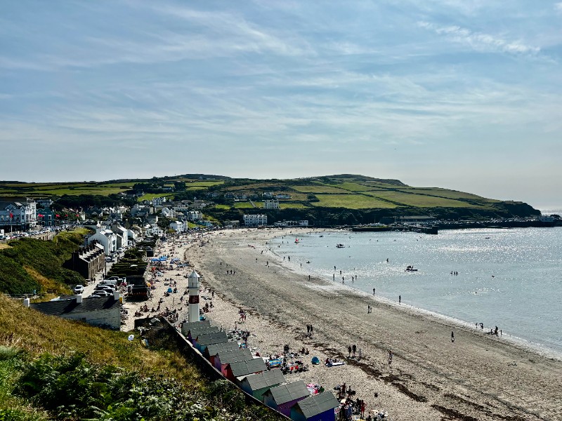
Low-lying areas around all the Island's ports are at risk from what's being described as a one-in-50 years event.
Gale force winds, rain and high tides come together at midday to create a risk to life and property.
The public are being urged to stay away from flood areas - where raw sewage could seep from open manholes.
Emergency planning, infrastructure, civil defence and water authority chiefs held a Cobra-style summit late yesterday to assess the situation.
Roads around the Island are to be closed from mid morning and sandbags have been sent into key areas. as forecasters predict widespread damage.
A red flood warning was issued last night - as it became clear the high tide will combine with a storm surge.
That is forecast to to bring flooding havoc worse than was seen in 2002, when £8 million worth of damage was caused.
Heavy seas with waves of 4.5 metres will see water levels rise up to 800 millimetres above the point where harbours flood.
Maps indicating the areas likely to flood can be seen on a link from the government website: http://www.gov.im/water/sewerage/flooding/?menuid=24124
Fifty extra Department of Infrastructure staff have been called in from leave to help today and civil defence have 40 volunteers on call should evacuation be needed.
People affected by stormy seas are urged to take action - police say cars must be moved from the north of Douglas Promenade and from underground garages, which flooded in 2002.
The hazards are very real and the warnings stark: stay away from coastal areas and report any incident where people are in danger on 999.
Clip 1
 'If you're going to enjoy the beach, take responsibility for your mess'
 Tributes paid to mum who campaigned for mental health awareness
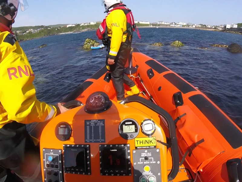 Paddleboarders rescued after being carried offshore
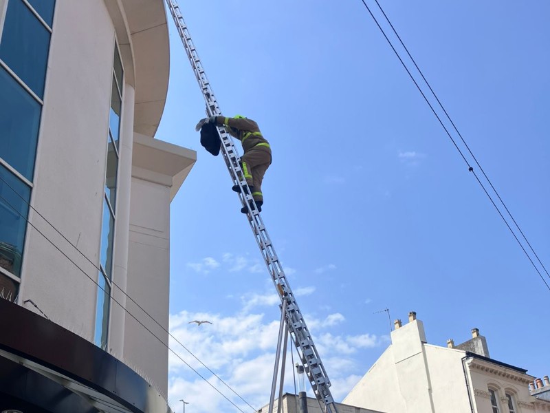 Firefighters save seagull stuck on M&S building