

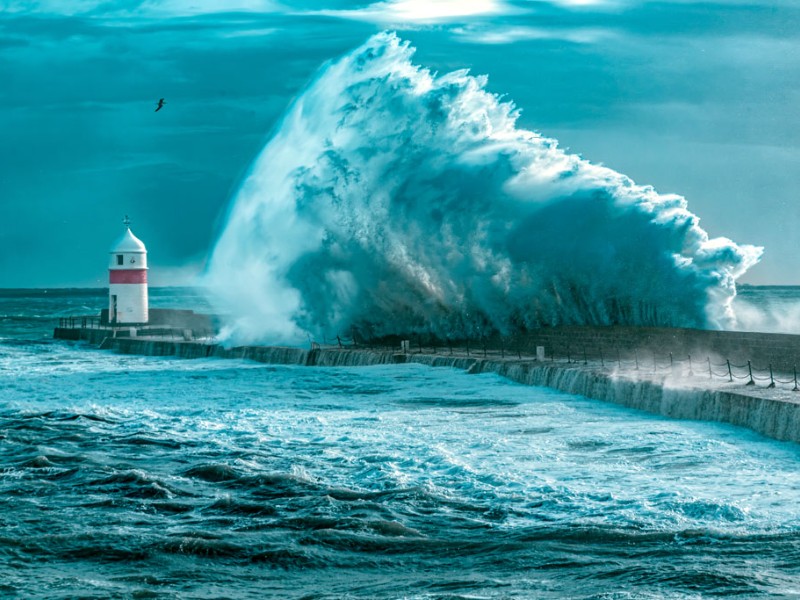
Road closures in place as Island braces for impact
A number of road closures will be in place this evening around the Island ahead of a rare red weather warning coming into force.
The warning for coastal overtopping is an upgrade of the previous amber warning issued yesterday (25 October) by Ronaldsway Met Office.
Forecasters say gale or severe gale force south-southwest wind, coupled with high spring tides, will lead to significant overtopping of waves and debris onto coastal roads and promenades around high tide at 11.30pm.
You can read more here.
Vehicle owners in areas at risk of flooding or overtopping are strongly advised to move their vehicles to a safe location before conditions deteriorate.
This includes from the Bottleneck car park in Douglas, where the City Council has issued a warning.
ROAD CLOSURES
A number of road closures have been announced via updates from Highway Services, the Department of Infrastructure and the Isle of Man Constabulary (the below times are as per official public notice emails from Highway Services).
In Ramsey, some key arterial routes are already closed (from 3pm).
Christian Street and East and West Street, along with the three footpaths leading from West Quay to Parliament Street will remain shut until 12pm tomorrow (27 October).
The length of Mooragh Promenade and Queens Promenade will both shut at 10pm.
They'll reopen at 1am (debris clearing dependent).
In Douglas, Central Promenade will close from 10pm, from the junction of Broadway to Port Jack (inclusive of Queens Promenade, Strathallan Crescent and King Edward Road), as will North Quay. They will remain shut until 10am tomorrow.
In Laxey, Shore Road will be shut from 10pm until 1am.
In Castletown, the length of the promenade will be closed from 10pm until 1am.
And Shore Road in Rushen will also be closed between 10pm and 1am.
All of the aforementioned roads are closed to all vehicles, including emergency vehicles, and pedestrians; and all reopening times are dependent on debris clearing.
SANDBAGS
Sandbags have been distributed to the following locations:
Ramsey
- East Quay/Market Square
Laxey
- Laxey Promenade
- DOI yard (Glen Road)
Douglas
- North Quay (Barbary Coast)
- Bridge Road
- Lake Road
- Strathallan Road
- Civil Defence HQ (Tromode Road)
Castletown
- Castletown Promenade (pump station)
- Hango Hill
HARBOUR FLOODING
In addition to the red weather warning, another amber warning will be in place from 10pm until 1am for inner harbour flooding.
This is expected around the time of the high tide tonight (11.30pm), due to a storm surge in the Irish Sea.
The main areas affected are:
- Ramsey – West Quay, East Quay, Parliament Street, Dale Street, Shipyard Road and the banks of River Sulby to Gardener's Lane
- Douglas – the Tongue, eastern end of North Quay, Old Castletown Road and Lake Road
- In addition, the flood defences should also be deployed for the lowest-lying parts of Castletown Harbour (yellow Warning level).
The Department of Infrastructure has confirmed in Castletown harbour access gates will be locked in the closed positions.
In Ramsey – Flood boards are to be deployed and will close access between East Quay and:
- East Street
- Christian Street
- West Street
- Collins Lane
- Trafalgar Lane
- Old Post Office Lane
Work to install the flood boards began in the last few hours (from 3pm) and they will be left in place overnight.
'TAKE WARNINGS SERIOUSLY'
Residents are being implored to 'please take the warnings seriously' by police, who say people should 'avoid affected coastal and harbour areas, and do not put yourself at unnecessary risk'.
Home and business owners are advised to ensure properties in the affected areas are as protected as possible ahead of the high tide.
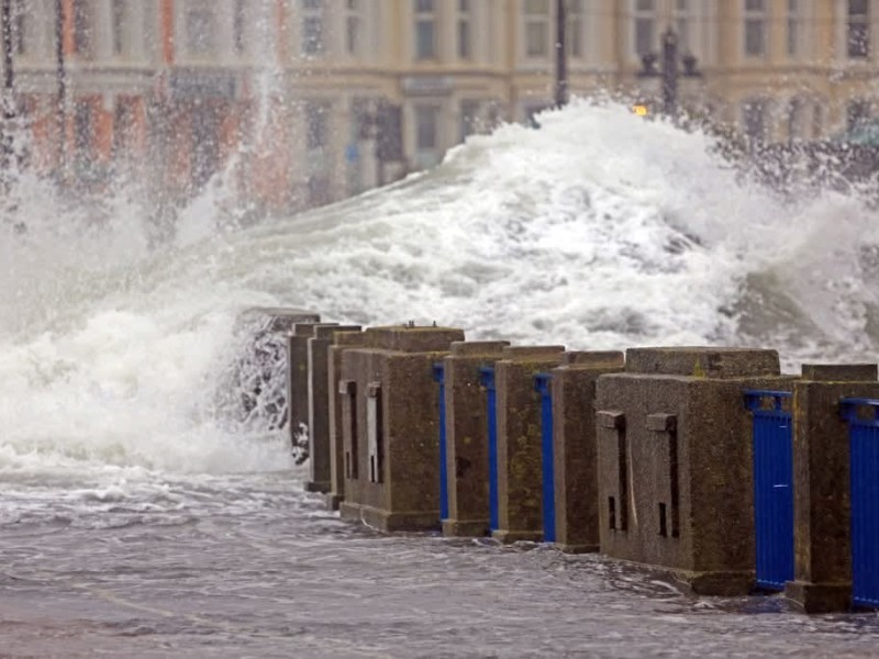 More coastal overtopping expected as strong winds continue
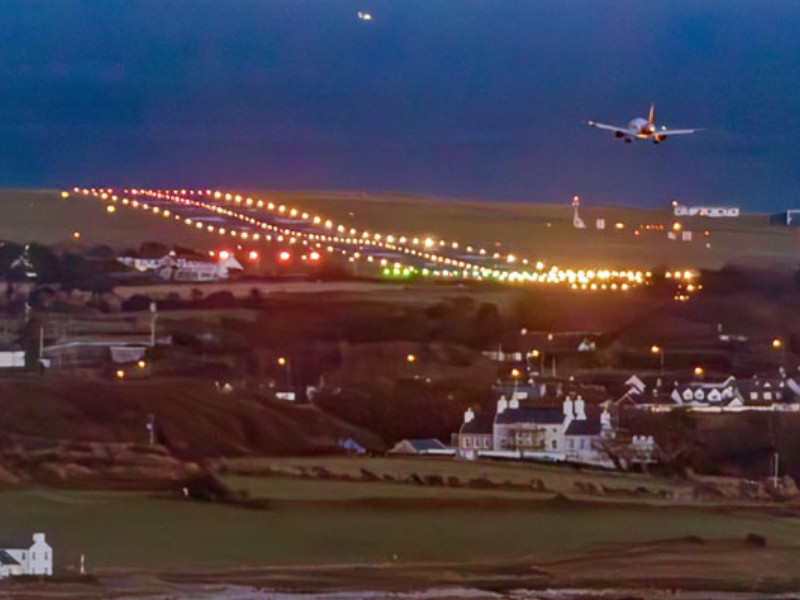 Full lighting capability restored at Isle of Man Airport
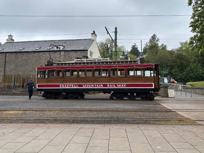 Snaefell Mountain Railway out of action after storm damage
 Council confident for Manor Pub's future
